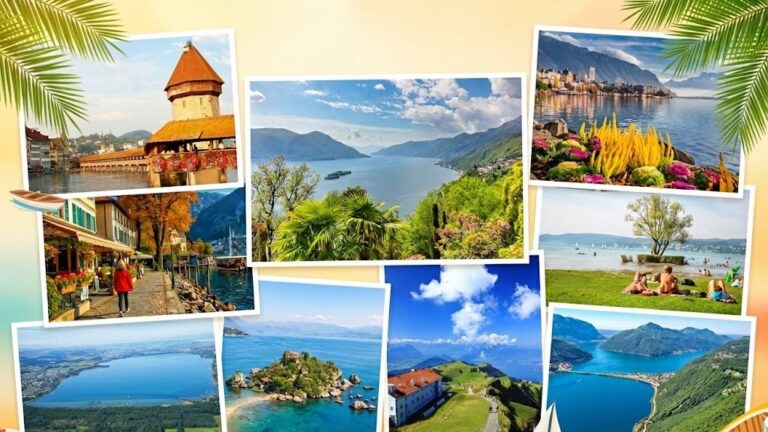
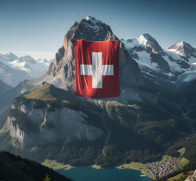
Switzerland on the Map: A Small But Multi-Layered Country
focusAnalysis: From the Alpine Summit to the Mediterranean Wind – The Secret of the Three Topographic Zones and Population Density
The personal observations in this article are based on my travels and regional research as a resident of Bern, and dialogues I have overheard in restaurant settings.
Switzerland may be a relatively small dot on the map with an area of just 41,285 km²; however, this figure conceals the geographic and cultural layers within the country. This land, which measures only 220 km from north to south and 350 km from east to west, hosts three main topographic zones and four official languages.
In my opinion, the true strength of Switzerland lies in the contrasts it unites in this small area. This article will delve into the geographic DNA on the Swiss map, analyzing why the population is compressed onto a certain plateau and how this topography has created the cantonal cultural differences.
✅ Quick Summary Table: Swiss Geographic Data
Item | Measurement / Value | Note |
|---|---|---|
Area | 41,285 km² | Ranked 135th in the world. |
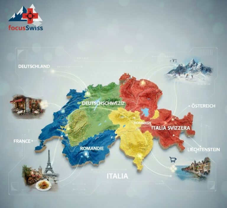
Main Regions | 3 | The Alps, the Swiss Plateau (Mittelland), and the Jura Mountains. |
Border Neighbors | 5 | Germany, France, Italy, Austria, Liechtenstein. |
Population Density | 227 people/km² | 75% of the population lives in the Mittelland. |
Highest Peak | Dufourspitze | 4,634 meters. |
🎯 Main Definition:
Switzerland is a small but dense federal republic. Although it has a total area of 41,285 km², the majority of its population is concentrated on the flatter Swiss Plateau (Mittelland) in the west and north, as the Alps occupy most of the country. This geography divides the country into three topographic zones and four official languages.
✅ Core Information:
Three Main Topographic Zones
Switzerland is divided into three fundamental geographic zones, characterized by high mountains, hilly areas, and wide valleys. This structure has shaped everything from transport networks to banking systems.
- Balance of Neutrality: Being situated among five powerful neighbors has historically compelled Switzerland to neutrality, and this neutrality has become the most important part of the national identity.
- Economic Ties: Economic integration with neighboring countries is a critical part of the Swiss economy.
✅ Detailed Guide:
📍 MAP ANALYSIS: The Three Topographic Zones and Their Distribution
Understanding the Swiss topography is fundamental to grasping the distribution of these three regions on the map. The Alps are the country’s defense line; the Mittelland, the living area; and the Jura is the northwest flank.
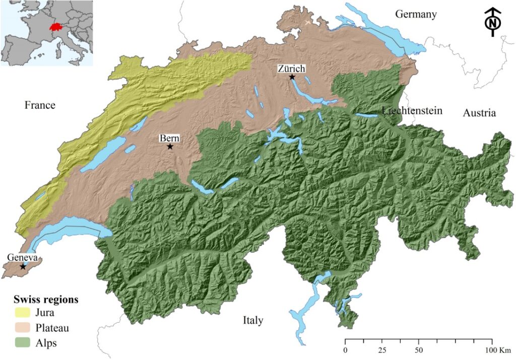
📌 Swiss Plateau (Mittelland): Geography → Economy → Demography Chain
The Mittelland is the economic engine of the country. The reason it attracts 75% of the population lies in the geographic, economic, and demographic chain reaction:
- Geography: It is relatively flat, providing suitable land for industry and agriculture.
- Economy: The Industrial Corridor (Zurich-Basel-Bern-Lausanne axis) and financial centers are concentrated here.
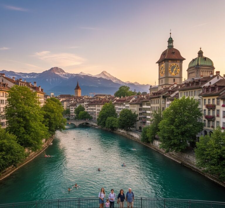
- Demography: Job opportunities and easy transportation have made the Mittelland a settlement magnet, driving population density to its peak. You can find detailed information on the distribution of cities and the balance of costs in our article [Zurich, Geneva, Bern: Which City is Cheaper to Live In?].
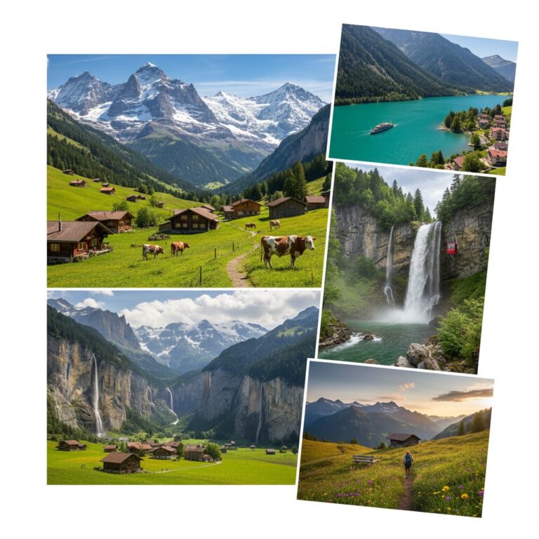
⛰️ The Swiss Alps: Source of Historical Identity
The Alps cover over 60% of southern and central Switzerland and are the most iconic part of the Swiss map.
- Reasons for Population Escape: Cold climate, unsuitability of agricultural land, high transportation costs, and difficulty of construction lead to a very low population density in this region.
- Historical Link: Founding cantons like Uri and Schwyz are located in the Alps. You can find more information on the country’s founding mythology in our article [1291 Founding Legend: Uri, Schwyz, and Unterwalden Treaty].
- Important Corridors: The vital Gotthard, Simplon, and Lötschberg tunnel and passes reinforce the Alps’ role as a bridge between Northern and Southern Europe.
🚦 Language Map: Correlation of Linguistic and Political Borders
Switzerland’s language map demonstrates the cultural attachment of the cantonal borders.
- Formation of Language Borders: Topography has historically supported linguistic borders. Passes and valleys helped create the regional isolation that preserved languages like Romansh in Graubünden.
- Ticino Effect: Ticino, the only entirely Italian-speaking canton south of the Alps, is in my opinion Switzerland’s most surprising cultural layer. You can find more details about this Mediterranean spirit in our article [Experience the Italian Soul in the Ticino Region: Lugano & Locarno Guide].
✅ Experience / Recommendation Section:
focusAnalysis: A Chef’s Perspective: Logistics and Food Quality Influenced by Geography
As a pizzaiolo residing in Bern, I clearly see how the country’s topography affects the food supply chain and final costs. While cities in the Mittelland have easier access to international raw materials, the availability of fresh milk from the Alps and the logistic corridors of the Mittelland are, in my opinion, the main reason why food quality is not compromised in Switzerland. The prices of Mediterranean products from Ticino reflect the logistic costs caused by this challenging Swiss geography. This sensitive ecosystem explains why the strict environmental rules, mentioned in the article [Swiss Rules of Life: Order, Silence, and Adaptation Guide], exist.
✅ Step-by-Step Guide / Application: Travel Planning
✅ Step 1: Plan Regional Transportation
Transportation between the three main geographic zones (Mittelland, Alps, Jura) is possible thanks to Switzerland’s strong public transport network. Consider subscription systems like the Swiss Pass for your visits.
✅ Step 2: Prepare for Climate Changes
You can quickly ascend from the mild climate of the Northern Plateau to the Alpine peaks (over 4,000 meters). It is possible to transition from winter to summer in a single day; therefore, always carry layered clothing.
✅ Step 3: Account for Population Density
Factor in the density of the Pendlerstrom (daily commuter flow) in Mittelland centers during the week. If you are seeking the tranquility of the Alps, prefer early hours or smaller villages to avoid weekend traffic.
✅ Cost / Fee / Duration Table: (Average Geographic Data)
Item | Description | Value |
|---|---|---|
Coast-to-Coast Distance | (North – South) | 220 km |
Foreign Population Rate | (Resident foreigners as percentage of population) | ~25% |
Urbanization Rate | (Percentage of population living in cities) | ~74% |
✅ Frequently Asked Questions:
Q: Why does the majority of the population live in the Mittelland?
Answer: Because the Mittelland has a relatively flatter terrain compared to the Alps. Therefore, it is the most suitable region for settlement, industry, and the construction of transport networks.
Q: Which European rivers originate in the Alps?
Answer: Actually, the Alps are the source of major European rivers such as the Rhine, Rhone, Inn, Aare, and Ticino.
Q: How many border neighbors does Switzerland have?
Answer: Switzerland has a total of five border neighbors: Germany, France, Italy, Austria, and Liechtenstein.
✅ Conclusion:
Switzerland, in a small area of 41,285 km², hosts the splendor of the Alps, the economic power of the Mittelland, and the cultural flow of different languages. Therefore, a simple dot on the map represents a deep geopolitical and cultural complexity. Knowing this information allows you to understand the reasons for your daily life: You can deduce why rents are high in Zurich (Mittelland density), why trains are so punctual (lines aligned with the topography), and why cantons are so autonomous (due to the mountains) from this map analysis. In my opinion, grasping these layers of the Swiss map is of vital importance, even for an immigrant living here.