Why Are Houses in Switzerland Built There? Swiss Settlement Patterns, Walser Villages & Risk Maps
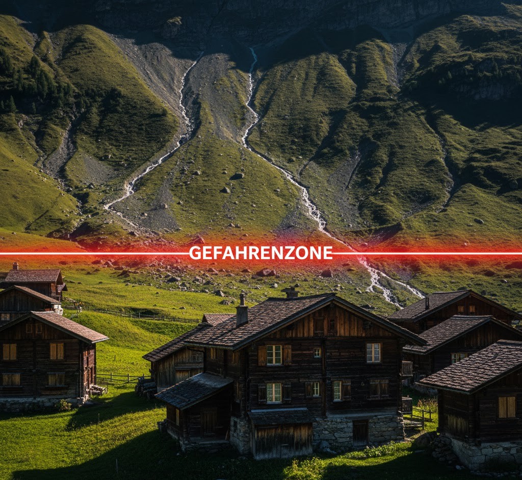
Last summer, we took a family trip to Kandersteg, just an hour’s drive from Bern, to see the famous Lake Oeschinen. As the kids sang in the back seat, I was admiring the scenery: charming wooden chalets clinging to steep green slopes, geraniums spilling out of flower boxes… I was just thinking, “This is my retirement dream,” when I noticed a strange sign on the side of the road. It had a red line and one ominous word: “Gefahrenzone” (Danger Zone).
I asked my Swiss friend, “What does that mean?” That’s when I learned the reality behind the postcard image. “That green slope you see,” he explained, “could slide at any moment because of melting permafrost. That’s why it’s forbidden to build new houses there.”
Living in Switzerland teaches you one lesson very quickly: City planning here isn’t done by mayors, but by Mother Nature. The angle of the sun, centuries-old avalanche paths, and the “patience” of the mountains decide exactly where your house stands.
In this article, I’ll show you the invisible side of the Swiss map—how the Alpine ecosystem shapes our settlements, our safety, and even the real estate market, from an expat’s perspective.
1. The Climatic Divide: Lush Pastures vs. “Desert” Valleys
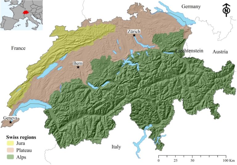
A common misconception among newcomers is that Switzerland has the same climate everywhere. In reality, the Alps act like a giant wall, splitting the country in two. Knowing this distinction is life-saving when renting an apartment.
The Wet Pre-Alps (Bern, Glarus, St. Gallen)
Regions like Bern, sitting on the northern slopes of the Alps, catch the moist air coming from the Atlantic. The result? Lots of rain, lush green meadows, and—if you’re not careful—damp basements. The reason the cows here are so happy and the milk so plentiful is thanks to this endless rain.
The Dry Inner Valleys (Valais and Graubünden)
This is the other side of the coin. The Rhone Valley (Valais) or the Engadine lie in the “rain shadow” of massive mountains. It’s hard to believe, but some places in Valais are so dry (less than 600 mm of rain per year) that even cacti grow there.
- Historical Detail: Centuries ago, farmers in Valais built kilometers of wooden water canals called “Suonen” (or Bisses in French) to channel glacial water to their fields. It’s a testament to the struggle against aridity.
2. Valley Floor or Sun Terrace?
When hunting for a house in Switzerland, real estate agents might use terms like “Talboden” (valley floor) or “Sonnenterrasse” (sun terrace). This isn’t just about the view; it’s about quality of life.
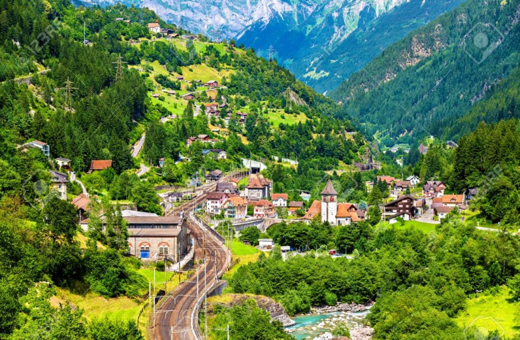
- Talboden (Industry and Shadow): Historically, valley floors were swampy and prone to flooding. People avoided living there. It wasn’t until rivers were corrected in the 19th and 20th centuries that factories, train lines, and affordable housing were built. Today, in cantons like Uri or Valais, living on the valley floor often means industry, noise, and early shadows in winter.
- Sonnenterrasse (Life and Tourism): Look up. Why do you think villages like Wengen or Crans-Montana are perched on those plateaus high up on the slopes? Our ancestors chose those spots to escape floods and catch the sun. Today, these are expensive, “sun-drenched” tourism hubs.
If you are new to Switzerland and trying to orient yourself within this complex geography, check out our [Everything You Need to Know About Switzerland — The Comprehensive Guide] for more fundamental tips on the country’s structure.
3. Cultural Architecture: Why Are Some Houses Scattered, Others Clustered?
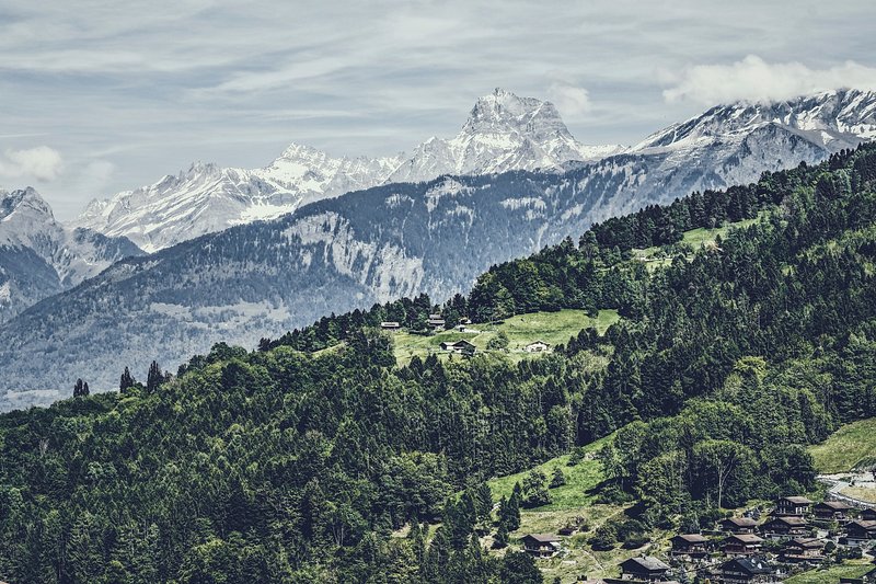
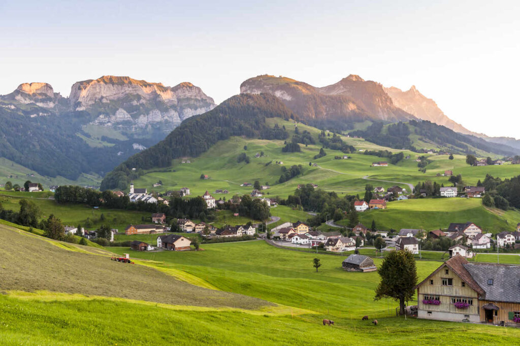
You might have noticed on weekend trips: In Ticino, stone houses are glued together, while in the high altitudes of Graubünden, houses seem scattered randomly across the landscape. This is not a coincidence; it’s a survival strategy.
The Stubborn Walser: Scattered Settlements (Streusiedlung)
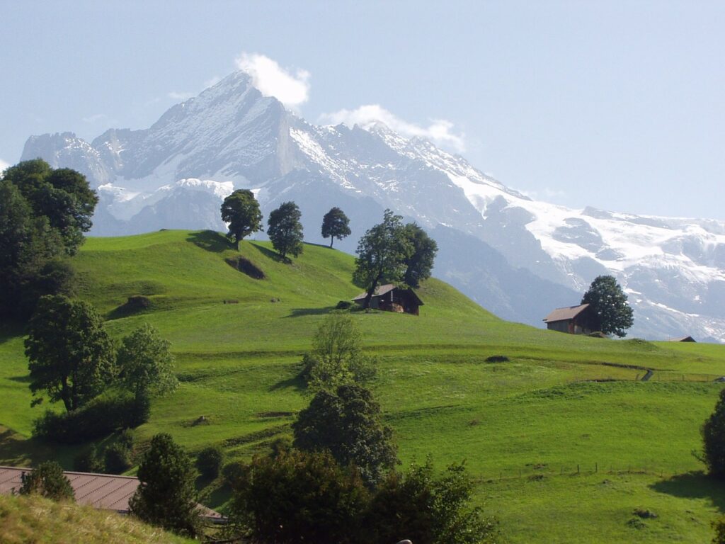
In the 13th century, the “Walser” people migrated from Valais to settle the highest, coldest, and most difficult terrains (e.g., Davos, Rheinwald) that no one else wanted. Each family built their house right in the middle of their own land to deal with the harsh nature alone. This is geographical proof of Swiss individualism.
The Latin Culture: Clustered Villages (Haufendorf)
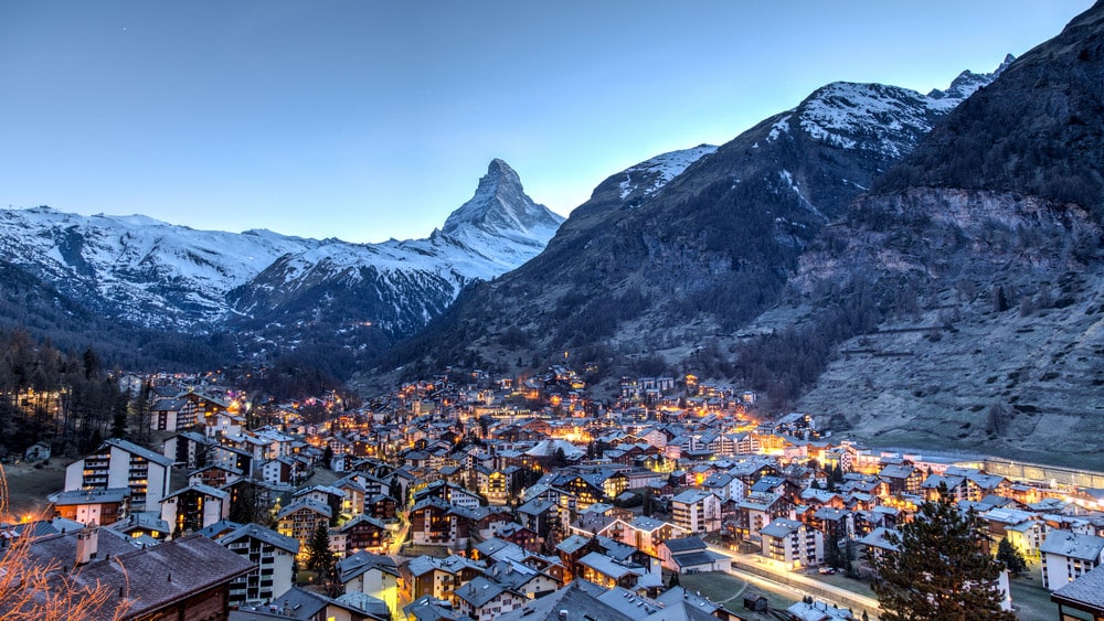
In Romansh and Italian-speaking regions (Ticino), you see the opposite. Arable land was so precious that no one wanted to waste it by building a house in the middle of a field. So, houses were built shoulder-to-shoulder around the church.
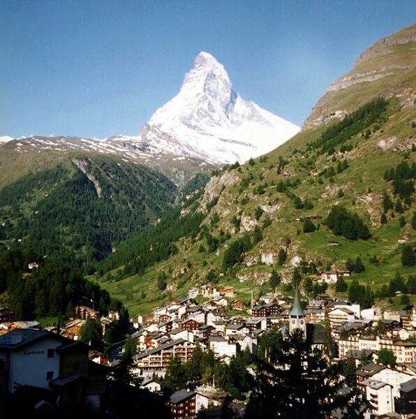
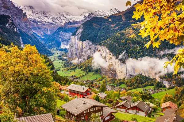
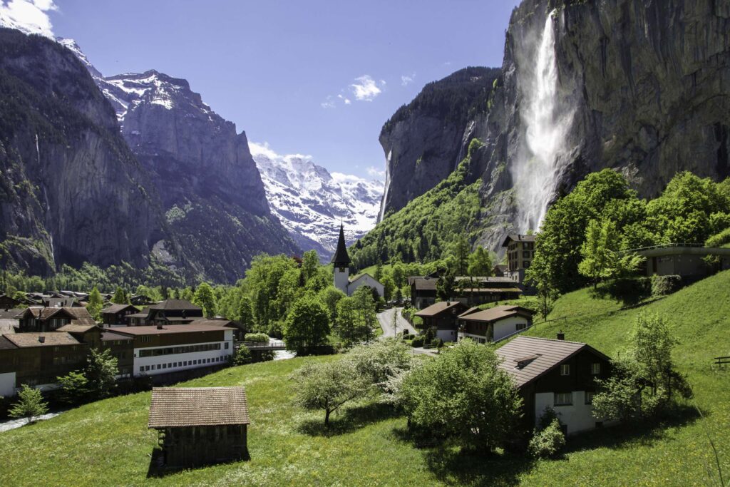
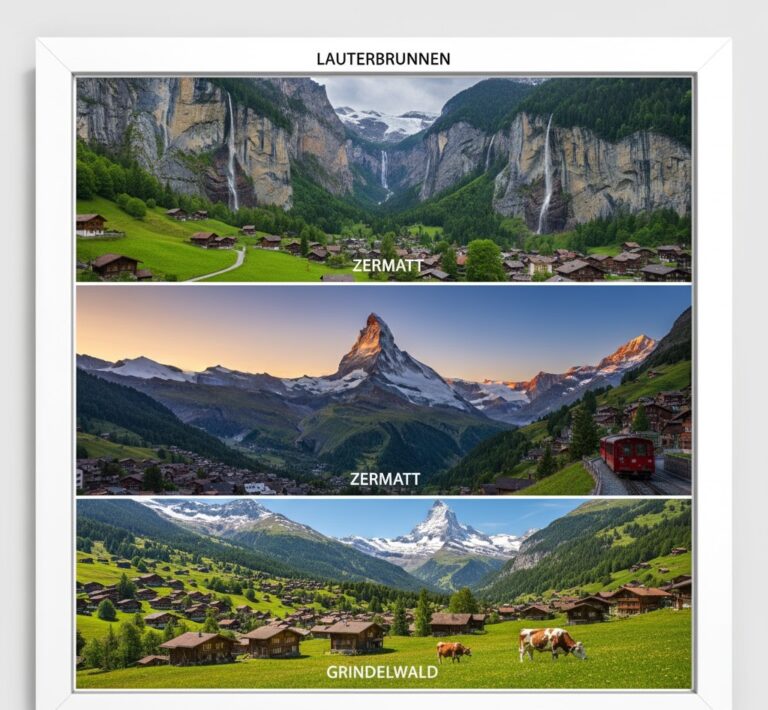
To explore the character of these unique settlements, take a look at our guide: [Switzerland’s Most Beautiful Mountain Villages: Lauterbrunnen, Zermatt, and Grindelwald].
4. Red Lines: Melting Mountains and the “Gefahrenkarte”
In the Swiss real estate market, the most critical document isn’t the land deed, but the “Gefahrenkarte” (Hazard Map).
At high altitudes (above 2500m), the ground has been frozen for millennia (Permafrost). This ice acts like cement holding the rocks together. But with climate change, this “cement” is melting. The village of Brienz/Brinzauls in Graubünden is a sad recent example; the mountain is sliding, threatening the evacuation of the entire village.
Pay attention to these colors in municipal zoning plans:
- 🔴 Red Zone: Absolute construction ban. High risk of avalanches or landslides. You cannot live here.
- 🔵 Blue Zone: Construction is allowed but only with strict conditions (e.g., reinforced concrete walls, avalanche-proof windows). This drastically increases building costs.
For deeper insights into housing costs and cantonal differences, I highly recommend reading our hub article: [Life in Switzerland: The Realistic and Comprehensive Daily Life Guide].
5. Modern Problems: Cold Beds and Bush Encroachment
Alpine villages today aren’t just fighting nature; they are fighting modern economics. In tourist hotspots, there were so many vacation homes used only two weeks a year that locals couldn’t find anywhere to live.
The solution was the “Lex Weber” law of 2012. It limits the proportion of “second homes” in a municipality to a maximum of 20%. This aims to prevent villages from turning into ghost towns with “cold beds.”
Another issue is “Verbuschung” (Bush Encroachment). Where cows used to graze on high slopes, the land has been abandoned as farming declines. Now, Green Alder bushes are taking over. While it looks green and innocent, this shrub destabilizes the soil and paradoxically increases erosion risk.
Conclusion: Reading the Map Correctly
Settlement patterns in Switzerland are the summary of humanity’s struggle and adaptation to the Alpine ecosystem. The thick stone walls in Ticino against the heat, the high stilts of Valais granaries against moisture, and the steep roofs in Uri against snow loads—everything has a reason.
If you plan to live here, don’t just look at the commute time to work. Look at the angle of the sun, the hazard map, and the topography. Because in Switzerland, the mountains always have the final word.
To understand how this geography affects the administration and culture of the cantons, read our detailed analysis: [The Geographical Structure of the 26 Cantons: A Guide to Administrative and Cultural Differences].